Balia Nala, the outlet of Nainital Lake, a geologically sensitive zone carefully studied to understand slope stability, fault lines, and debris flow patterns, ensuring the safety and sustainability of the surrounding community.
PROJECT DETAILS
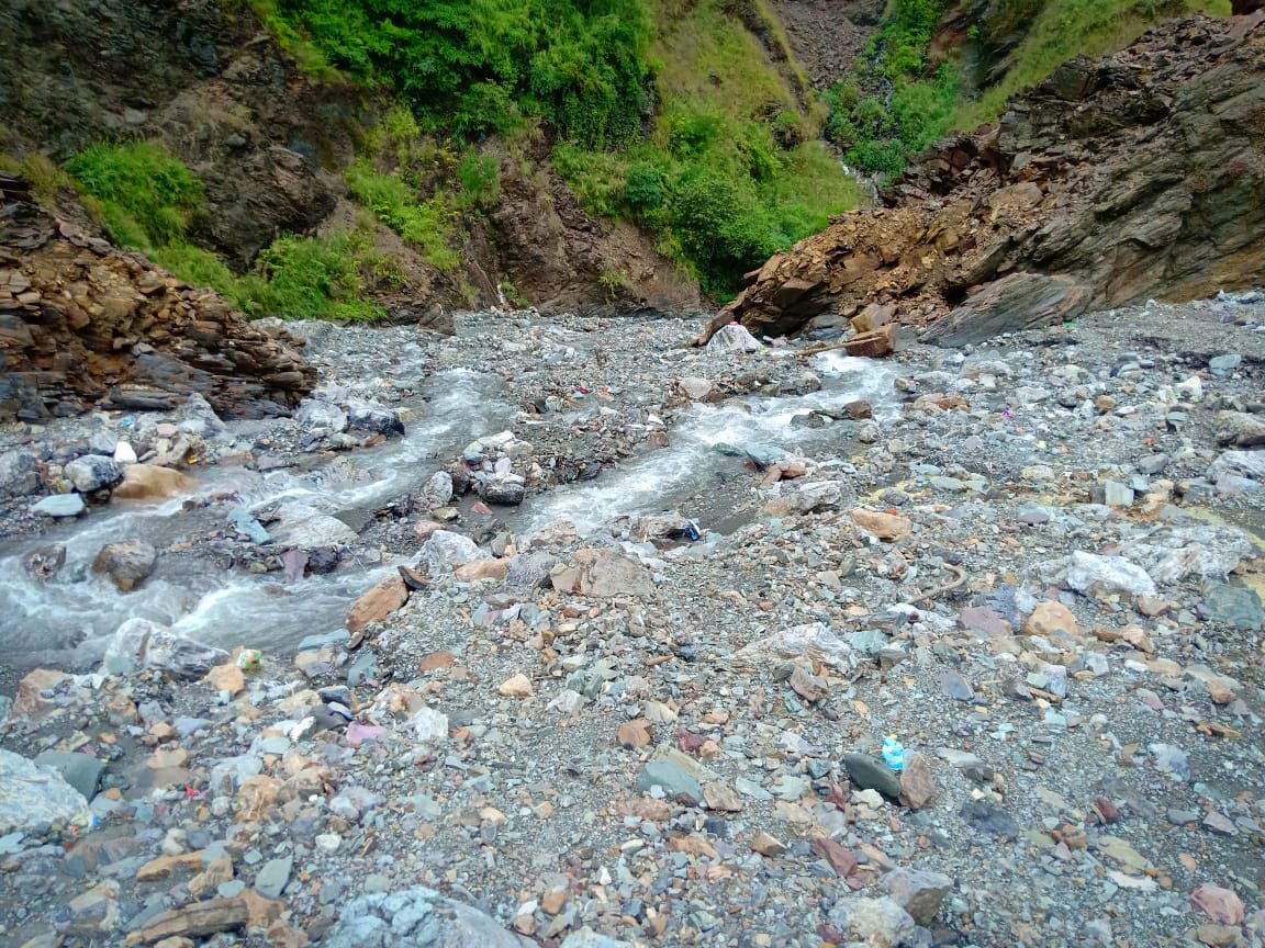
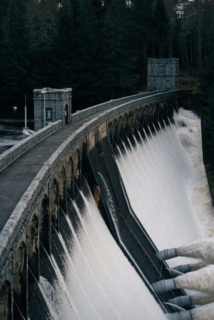
Balia Nala is the outlet of Nainital Lake, flowing southeast. The presence of the Nainital community on its right bank is quite important from a socioeconomic perspective.
The Nainital lake fault, crossed by the Manora fault from the southwest, travels through the eastern side of the study area, and several tiny faults, which are sub-branches of the Nainital lake fault, are noted (with a 10 m offset) and contribute to the landslide region.
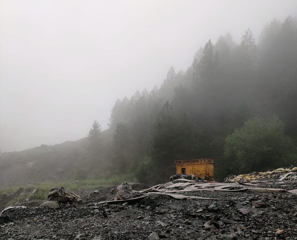
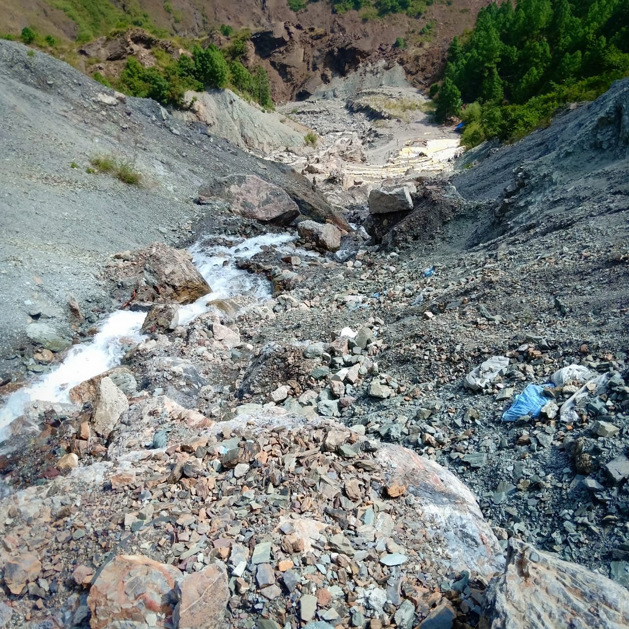
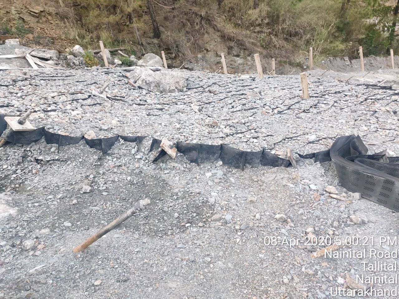
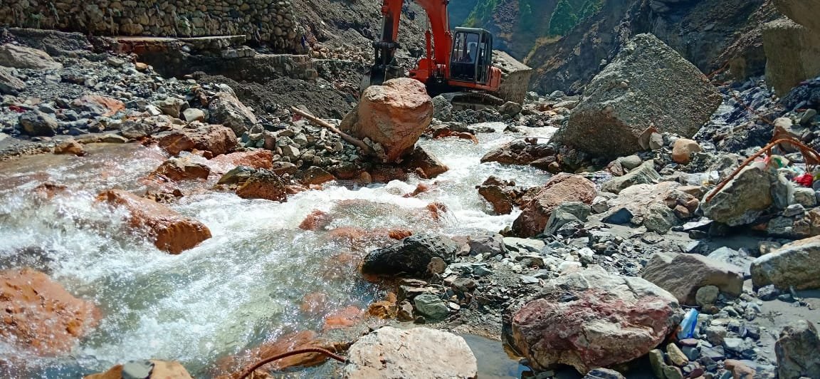
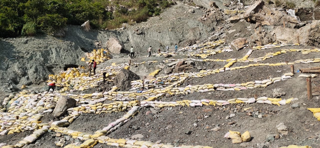
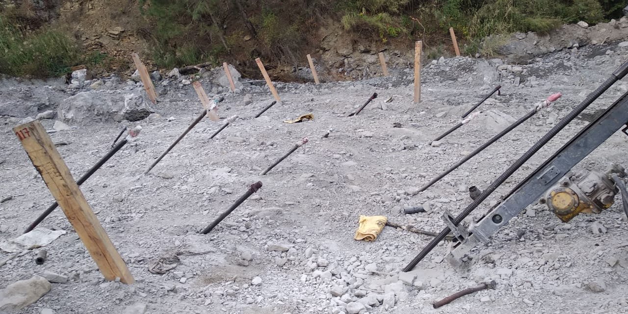
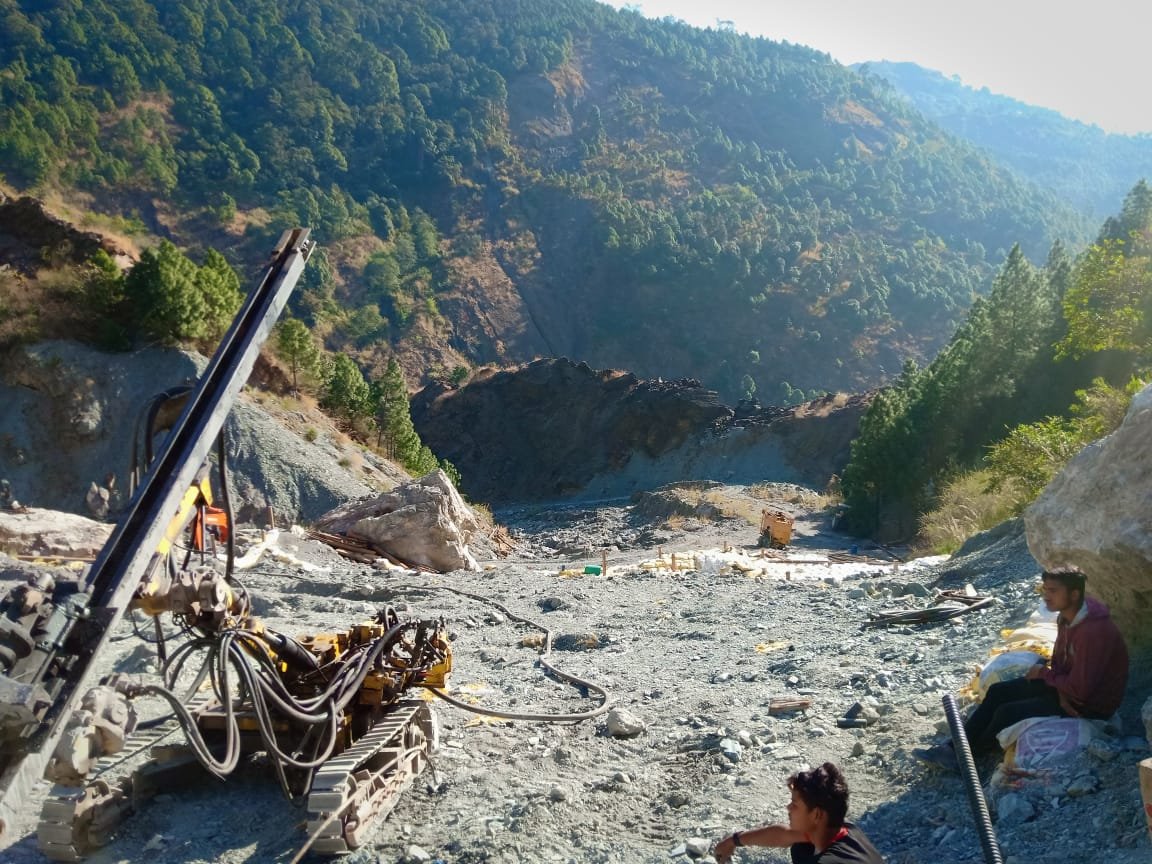
The stability of the slope is affected by several types of discontinuities (joints, faults, and shear zones) and fast down-cutting by the stream owing to tectonic plate activity. The research area has unstable lithology and a deep V-shaped valley. FIELD CONDITION. The failing slope extends over more than 300 meters in slant slope length, approximately 240 meters in vertical height, and exceeds 200 meters in width. Previous geological research available on the web has revealed a few fault planes and discontinuities in the area. Throughout the rains, there has been a massive debris flow, which has begun to jam the nala area. Balia Nala begins near the Nainital Lake outfall and flows approximately 1.6 kilometres up to the Brewery Bridge, exacerbating mass movement.
FIELD CONDITION
The failing slope reaches more than 300 metres in slant slope length, about 240 metres in vertical height, and more than 200 metres in width.
Previous geological research available on the web have revealed a few fault planes and discontinuities in the area.
Throughout the rains, there has been a massive debris flow, which has begun to jam the nala area. Balia Nala begins near the Nainital Lake outfall and flows approximately 1.6 kilometres up to the Brewery Bridge.
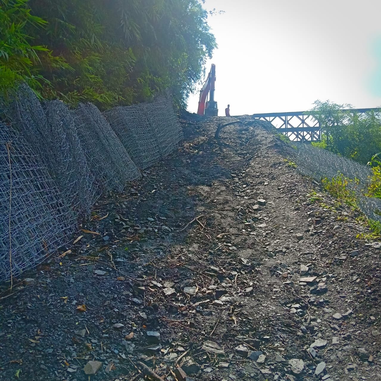
Challenges
Location of problematic zone / High altitude
Transportation of equipment and material
Mobilisation to diff. point on the problematic zone at the slope.
The natural terrain, including rocky slopes, soil layers, and stream channels, combined with identified fault lines and observed debris patterns, creates a detailed understanding of the site’s geotechnical character. This careful study not only addresses slope stability and mass movement risks but also ensures that interventions are informed and sustainable, maintaining the safety and continuity of the surrounding community.